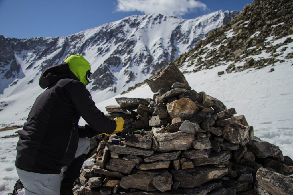
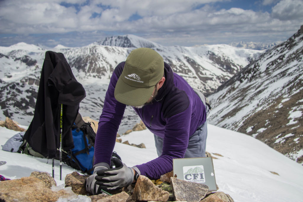
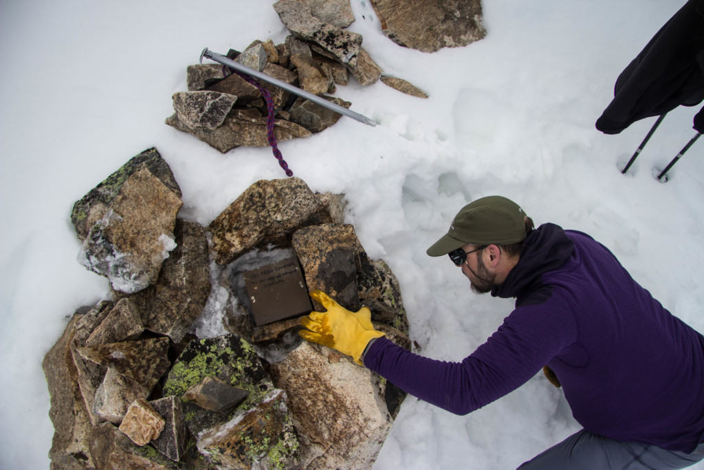
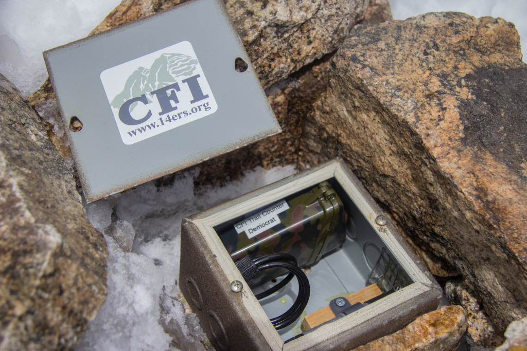
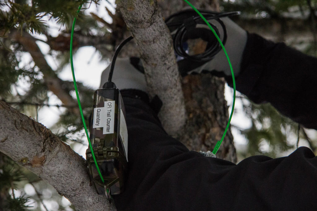
Phase II of the Sustainable Trails Program began in 2014 when CFI placed the first five TRAFx trail counters in the field. These compact, unobtrusive devices are buried in cairns or mounted on trees along the summit routes to help CFI gain a better understanding of how many people are hiking the trails each year. The units use a small infrared scope to detect differences in temperature between the static background and the heat signature of a passing body. Several methods for tracking use had been used before, including registries and hand counting done by staff and volunteer Peak Stewards.
The traffic counters are more effective because of their capability to provide us with a far more complete picture of hiker usage. The counters operate 24/7, can brave rainy conditions and thunderstorms, and take human error/miscalculation out of the equation. That first season using the TRAFx units provided a more accurate depiction of hiking use levels than had ever before been collected. It also offered several lessons about how physical location, weather patterns, and tampering by hikers plays a role in data collection. With an increase in funding the program was expanded to ten TRAFx units in 2015, serving multiple routes on nine peaks.
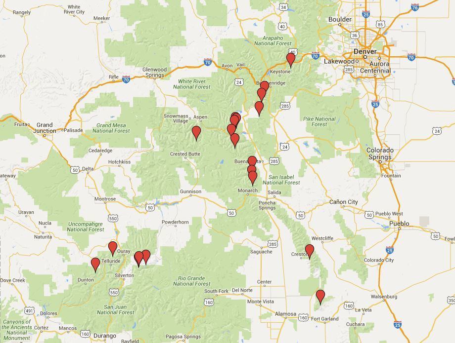
This year an anonymous donor donated $10,000 to again double the size of the program. With 20 infrared units in the field in 2016, CFI will obtain hiking use data for 22 peaks across seven mountain ranges in the state. This hiking use information is vital to better understand the use amounts and long-term trends on peaks. The traffic data can be incorporated into previous databases to help CFI assess where maintenance is most essential, and to determine how changes in use level are driving on-the-ground trail conditions. Trail use counts can also help calculate the economic impact generated for the nearby trailhead communities.
The information on hiking use from the 2014-2015 field seasons will be analyzed and distilled into the second volume of the “14er Report Card”, which will be released to the public later this summer. This report will focus on providing a more accurate estimate of the amount of hiking use that occurs on 14ers statewide, and the impact that the ever increasing popularity of summit hiking provides to Colorado’s economy.
With our battery-powered electronic devices only allowed in non-wilderness areas and the limited resources available to effectively install, download, maintain and remove the units from remote locations during the short field season, this may be the maximum capacity for the program. In order to have all 20 counters in place before hiking season ramps up and to ensure early season hiking use is collected, Lloyd, our summer intern Emily and I have been getting an early start placing infrared trail counters on peaks across the state. We’ve been amazed at the amount of snow still blanketing the trails! We’re excited to continue collecting and sharing this data with our generous funders and 14er enthusiasts. We’d like to thank the anonymous donor, The Summit Foundation, Norcross Wildlife Foundation, the Town of Breckenridge, the City of Aspen, Pitkin County, and the Aspen Skiing Company Environment Foundation for helping fund this project.
If you see one of CFI’s trail counters this summer, please do not tamper with or remove the units. Hopefully you will never even notice any of the counters. They are expensive and are serving a very important purpose for CFI and the federal agencies. If you see that someone has removed a counter from a cairn or tree mount, please contact brian@14ers.org so we can promptly reinstall the device. Thanks for your help in making this trail counting project a success!

